
Station Name: MARTELL BRIDGE HALT[Source: Nick Catford]
 Looking south across the site of Martell Bridge Halt in February 2017. The halt would have been at a higher level as the embankment has been partially removed for farm road-making. The bridge
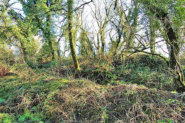
is to the right. Photo by Richard Martin 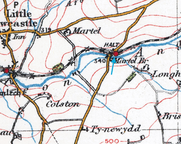 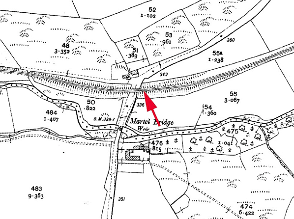 As the halt was open for only seven years, it was not shown on any large scale Ordnance Survey maps as no maps were published during its existence. Its position is indicated on this 1907 1:2,500 map. As the halt was open for only seven years, it was not shown on any large scale Ordnance Survey maps as no maps were published during its existence. Its position is indicated on this 1907 1:2,500 map.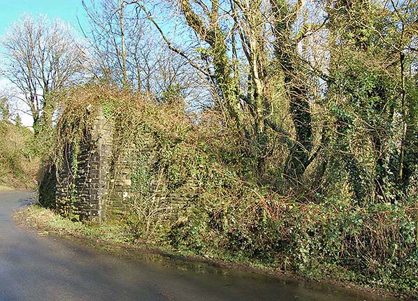 Looking north at the site of Martell Bridge Halt in February 2017. The embankment behind the trees on which the halt stood has been partially removed. Looking north at the site of Martell Bridge Halt in February 2017. The embankment behind the trees on which the halt stood has been partially removed.Photo by Richard Martin 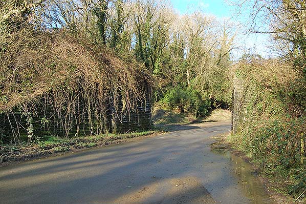
Looking north along the C3009 road at the surviving bridge abutments in February 2017. Martell Bridge Halt was to the right.
Photo by Richard Martin 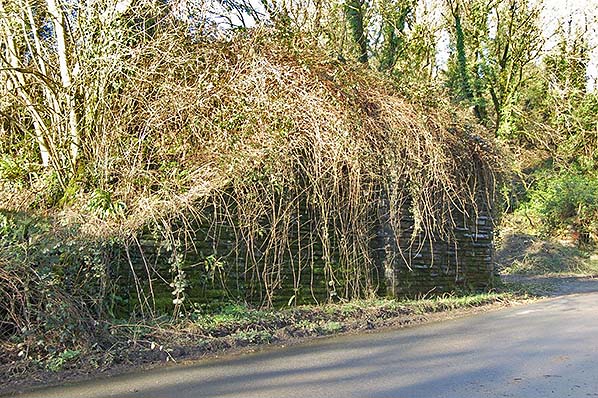
The west abutment of the C3009 bridge in February 2017. Martell Bridge Halt was to the right.
Photo by Richard Martin
|
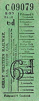 Notes: As road transport became more popular throughout West Wales a number of halts were opened in an effort to boost passenger traffic. Four halts were opened on the North Pembrokeshire branch. One of these was Martell Bridge Halt. Although the local spelling of the name is Martel, the GWR (with its reputation for inaccurate rendering of Welsh place-names) added an ‘L’, and this was used in Bradshaw and on tickets.

 Home Page