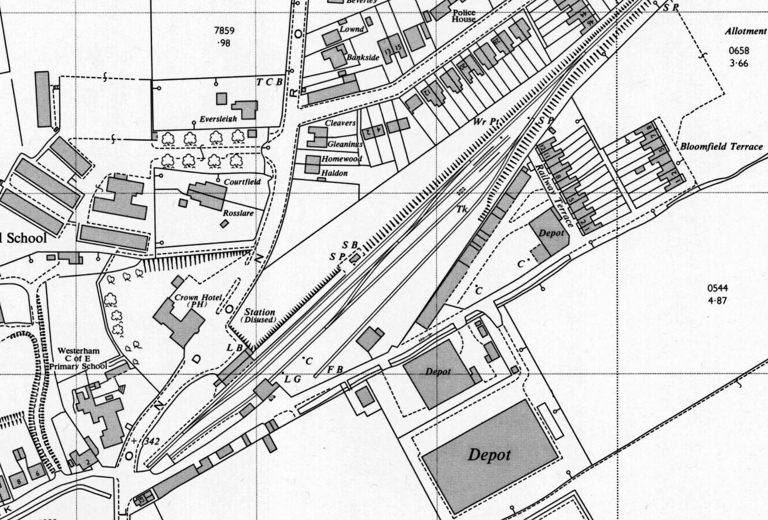
 1:2,500 OS map. The station is now shown as 'disused' but little else appears to have changed from the previous map. The crossover to the west of the goods shed has been lifted and the coal bins adjacent to the shorter siding have gone. The goods yard crane (C) and loading gauge (LG) are marked for the first time on the north-east side of the goods shed. Also shown is a watering point (Wr Pt) at the end of the shed road.  Home Page Home Page
|