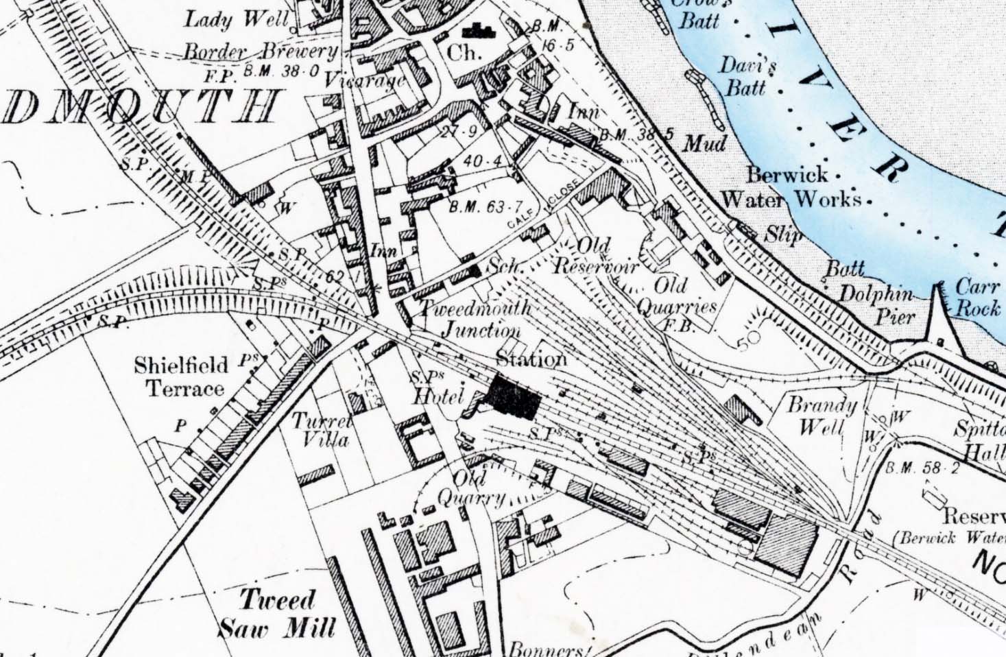
Station Name: TWEEDMOUTH1899 1:10,050 (6") OS map.This is a smaller scale map based on the same survey as that of 1898, but permitting the adjacent area of the town to the north and the eastern end of the Kelso branch to be seen. The ‘vignetted’ colouring of the River Tweed adds to the attractiveness of the map.
 Home Page Home Page
|