[Source: Nick Catford] 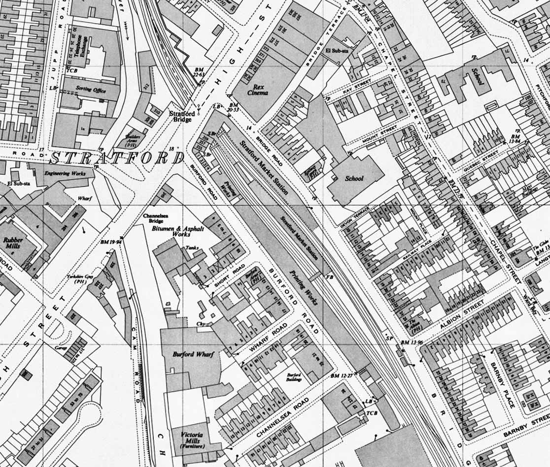 1951 1:2,500 OS Map.1951 1:2500 OS Map. Little has changed. The entrancem to the up plaform from Burford Road has closed and the bridge over the goolds lines and steps down to the platform have bneen demolished. The signal box at the south end of the down platform has been demolished. Its closure date is not known.  Home Page Home Page
|