
Station Name: SHAWFORTH[Source:
Alan Young]
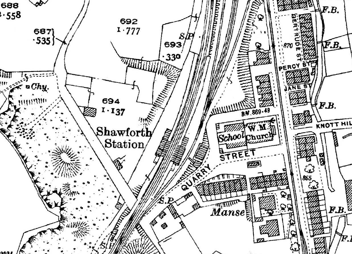
1930 1: 2,500 OS map. Buildings of identical size are shown at Shawforth station on each side of the double-track railway; their awnings are indicated but are shaded in the same way as the buildings themselves. The separate booking hall is east of the station adjacent to Quarry Street. The 1910 1: 2,500 OS map (not reproduced here) showed a brick works immediately north-west of the passenger station, served by sidings, and a tramway has been installed to carry clay downhill from a pit on the valley side. The brick works and its associated sidings have closed and been removed by 1930. The sidings east of the passenger line leading to the coal yard are still in place. The signal box is seen at the southern edge of the map, west of railway tracks.
|
 Home Page