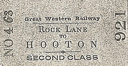
Station Name: ROCK LANE[Source: Paul Wright]
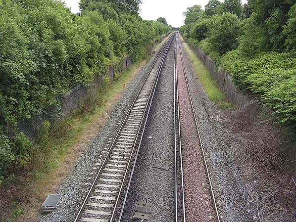 The site of Rock Lane Station looking south in in July 2009. The picture clearly demonstrates that at one time the line was quadrupled at this point. It was the 1900 to 1905 quadrupling scheme that would have obliterated all traces of Rock Lane Station.
Photo by Paul Wright 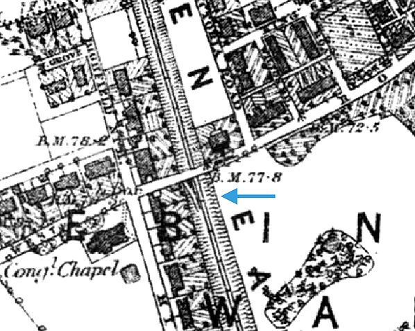 Because of its very short life, Rock Lane doesn't appear on any Ordnance Survey maps. The 6" OS map from 1870 shows a a ramp into the cutting which must have been the access onto the platform. 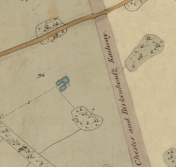 1830s tithe map dating from before the railway had been built does not show the site of Rock Lane station which opened six years after the line. 1830s tithe map dating from before the railway had been built does not show the site of Rock Lane station which opened six years after the line.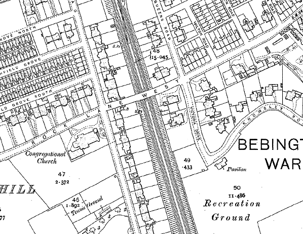
By 1900 the line had been quadrupled and there is no longer any sign of the access ramp on the map.
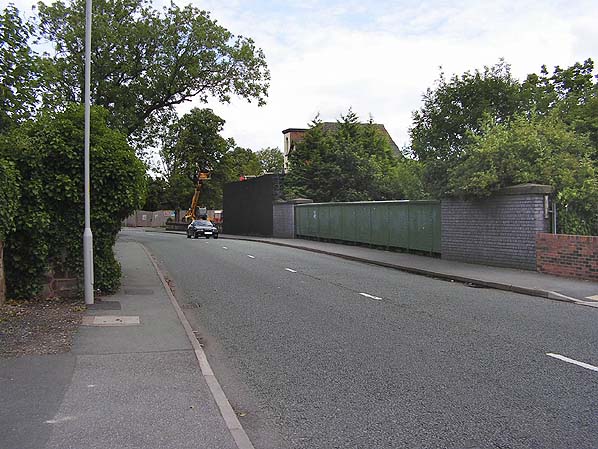
Rock Lane West bridge in July 2009. The station was located at this point but the present bridge dates from the 1900 to 1905 quadrupling scheme which would have obliterated all trace of the former station.
Photo
by Paul Wright
 Home Page Home Page
|