
Station Name: RIVER PLATFORM
|
| Date opened: | 1941 or 1942 |
| Location: | In fields south of the junction with Avenue East West and Street 1 |
| Company on opening: | Thorp Arch Military Railway |
| Date closed to passengers: | By October 1946 |
| Date closed completely: | By October 1946 |
| Company on closing: | Thorp Arch Military Railway |
| Present state: | Demolished - no trace remains |
| County: | Yorkshire |
| OS Grid Ref: | SE446456 |
| Date of visit: | 12.4.2013 |
Notes: River Platform was one of four stops on the Thorp Arch circular railway. It was opened in 1941/2 during the construction of the Royal Ordnance Factory. The platform was initially used by construction workers and then by the regular workforce which, at its peak, reached 18,000. During WW2 the factory operated 24 hours a day with three shifts. River, and the three other platforms, allowed workers to disembark close to their actual place of work. River consisted of a single platform on a sharp curve constructed of earth and cinders and faced with old sleepers. It had electric lighting and a nameboard but the 1962 map, below, shows no waiting shelters. It was sited at the south-east corner of the factory site, close to the River Wharfe and the east junction with the Church Fenton - Harrogate railway line. Two of the platforms were brought into use in November 1941, whilst the other two were used from 19 April 1942. The regular passenger service ceased in 1957 but River Platform had ceased to be used by October 1946. No photographs of the platform in use or after closure have been found. To see other stations on the Thorp Arch Military Railway |
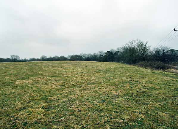
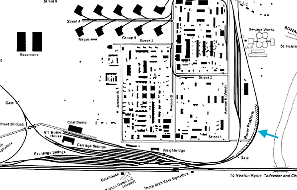
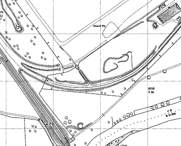
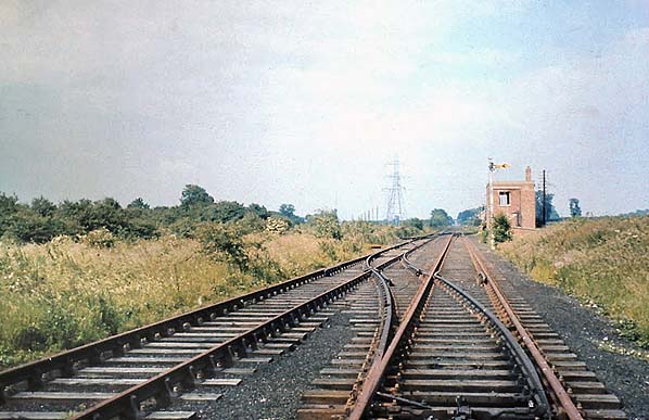
Photo from Wetherby Historical Trust from Matt Higgins Flickr photostream

|
 Home Page
 | Last updated: Monday, 22-May-2017 13:02:24 CEST |
© 1998-2013 Disused Stations
|