
Station Name: PARKSIDE (2nd site)[Source:
Bevan Price & Paul Wright]
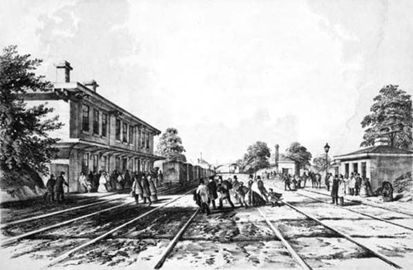 The
second Parkside Station in 1848
map.gif)
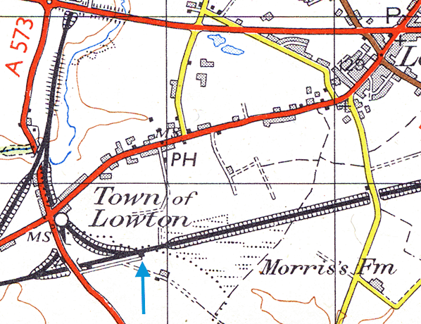
The
second Parkside Station shown on this 1849 map. The original station
is still shown as a 'luggage station'.
 This 1952 map clearly shows the memorial at the site of the first Parkside Station and a similar sized structure at the site of the second station. second2.jpg) Parkside station looking east c. early 1930s. At this time the old station building was a private dwelling. Photo received from Charles Snape (his father was born and raised in the house) 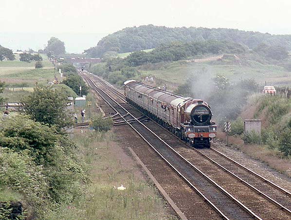 The site of the second Parkside Station looking east in 1980. The station was towards the rear of the train just beyond the junction. Photo by Bevan Price
 Home Page Home Page
|
