Station Name: LUDGATE HILL
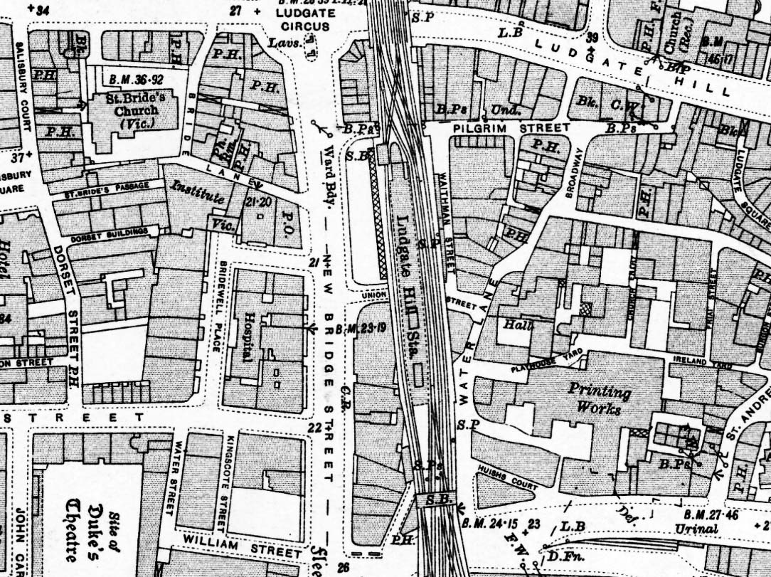
1936 1:2,500 OS map. Although this map was published in 1936, 7 years after closure it is based on a 1914 survey. The station is shown after rebuilding with a single island platform with two buildings towards the south end. The station forecourt is shown between Union Street and Pilgrim Street with a canopy in front of the entrance for weather protection. The south signal box is shown on a gantry over the formation to the south of the station, the north box is on the north side of the platform at the north end of the station.
 Home Page Home Page
| Last
updated: Friday, 19-Jan-2018 09:07:16 CET | ©
1998-2018 | |
