Station Name: LEWISHAM (1st site)
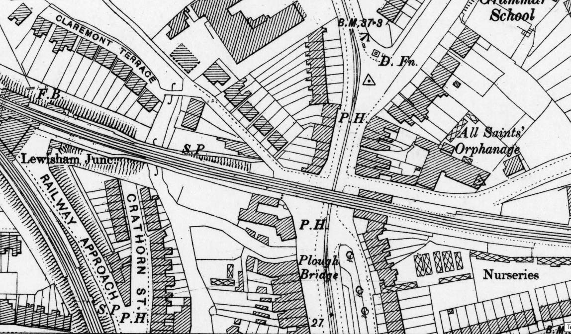
1890 1:2,500 OS map. Although closed for over 40 years the original station is still shown on the 1897 1:2,500 OS map. Two shaded areas are seen at the west end of the station. This usually indicates canopies but might just be a covering over the exposed open stairways up from the booking office below. There is a siding running up to the east end of the down platform. Note the horse tramway is double track either side of the Lewisham Road bridge but is only single track where it runs under the bridge.
| Last
updated: Saturday, 08-May-2021 16:55:47 CEST |
© 1998-2013 Disused Stations
| |


 Home Page