
TOUR OF THE HADLEIGH BRANCH IN 2020
All photos were taken in early 2020 or in May 2020 after Covid19 lockdown had been eased.
All Photos by Adam Keeble
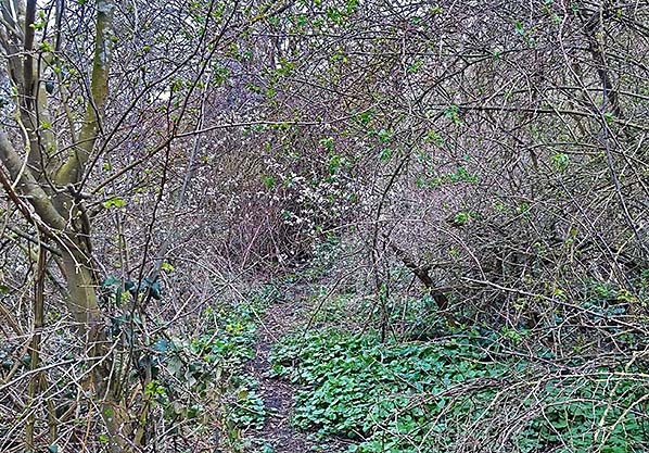
On top of Wenham Grange bridge, following track line from Capel to Raydon, looking back towards Capel, now very overgrown.
Wenham Grange crossing between Capel and Raydon, Bottle bridge stood on this site allowing road traffic over and rail under, demolished 1970, looking north. Camera position 2 on map.
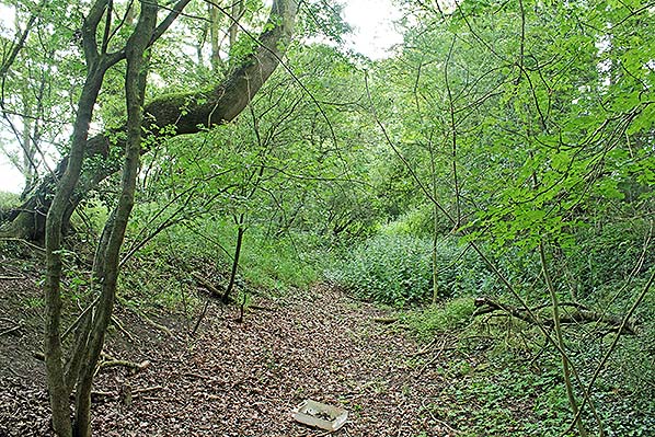
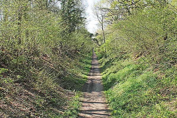
Track line just after Wenham Grange runs in a shallow cutting, looking back towards Wenham
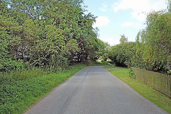
Raydon Wood station level crossing looking north.
Raydon Wood level crossing looking east towards Bentley.
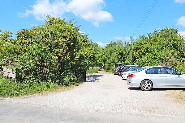
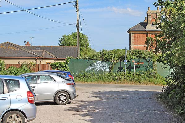
Raydon Wood level crossing looking west towards Hadleigh. The small car park is at the east end of the Hadleigh Railway walk.
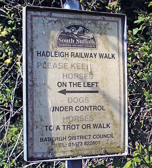
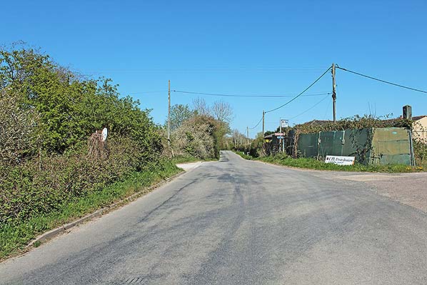
Start of Raydon to Hadleigh walk.
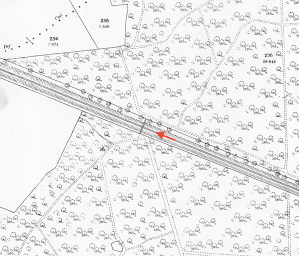
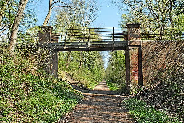
Huntsmans Bridge, re-built 1914, looking towards Hadleigh. Red arrow indicates camera position.
View from Huntsmans bridge looking towards Raydon.
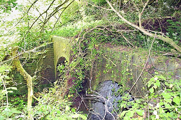
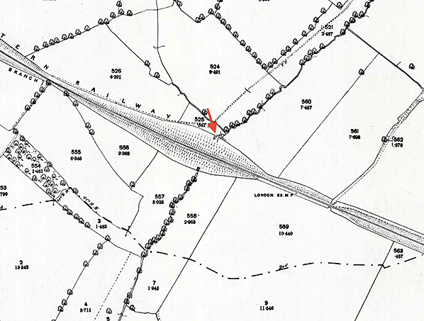
Stream passing under Hadleigh railway walk between Kate's Hill and Town House Farm public crossings, taken from northern side of the line. The line is on a 52' high embankment at this point, this was the highest embankment in Suffolk when built. Red arrow indicates camera position.
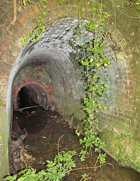 Stream passing under Hadleigh railway walk, right tunnel. Stream passing under Hadleigh railway walk, right tunnel.
| Last
updated: Monday, 01-Jun-2020 09:56:27 CEST |
© 1998-2020 Disused Stations
| |

 Home Page