| Station Name:EPSOM DOWNS |
 |
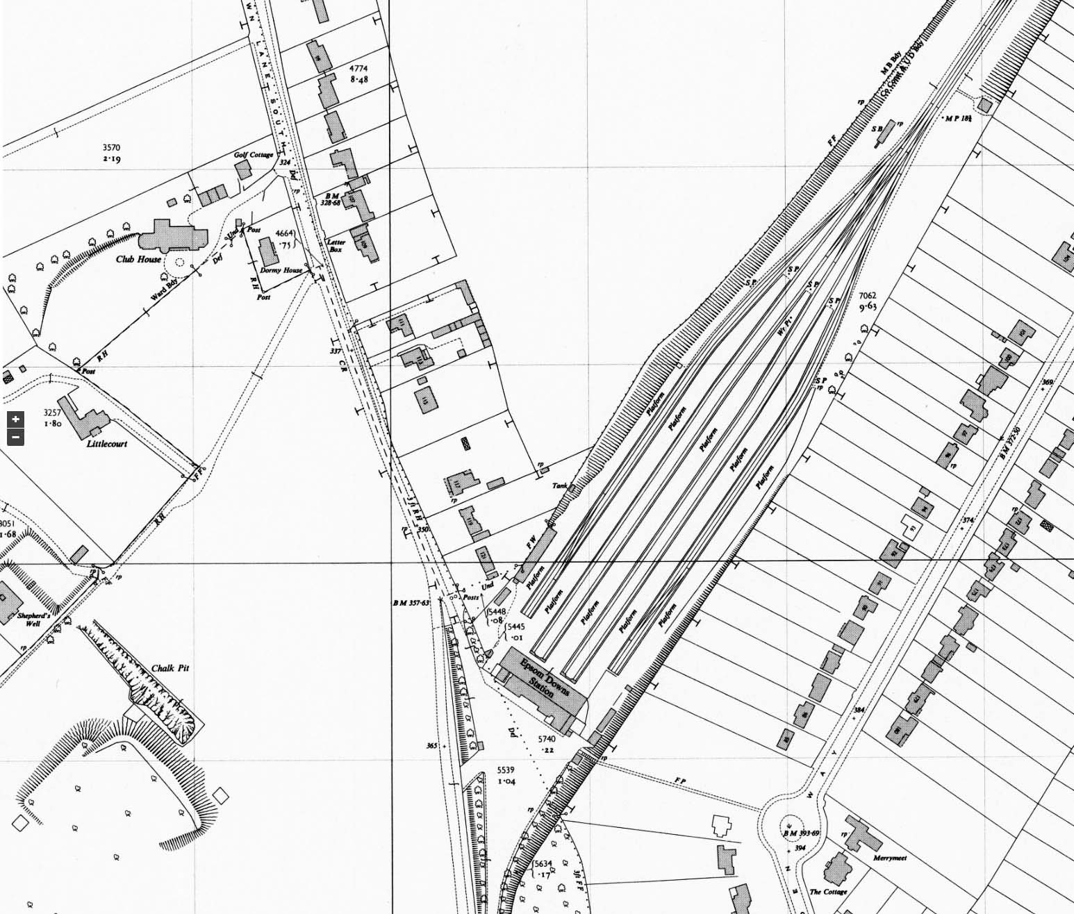
1955 1:2,500 OS map shows the track layout on the approach to the station has been considerably simplified with the removal of all the stabling lines; the release roads between the platforms have also been removed as have the two sidings running behind the signal box. The turntable and associated roads have also gone but the water tower is still seen. A watering point is noted at the end of platforms 4 and 5; these are the platforms used for the regular service. Due west of the station the structure surrounded by an earth bank is the WW2 deep air raid shelter. What is labelled as a chalk pit in front of it is, in fact, the approach cutting to the two shelter entrances. There has been considerable residential development around the station.
 Home Page Home Page
| Last
updated: Saturday, 06-Jun-2020 10:25:44 CEST | ©
1998-2016 Disused Stations | |
