Station Name: BRIERY SIDING HALT
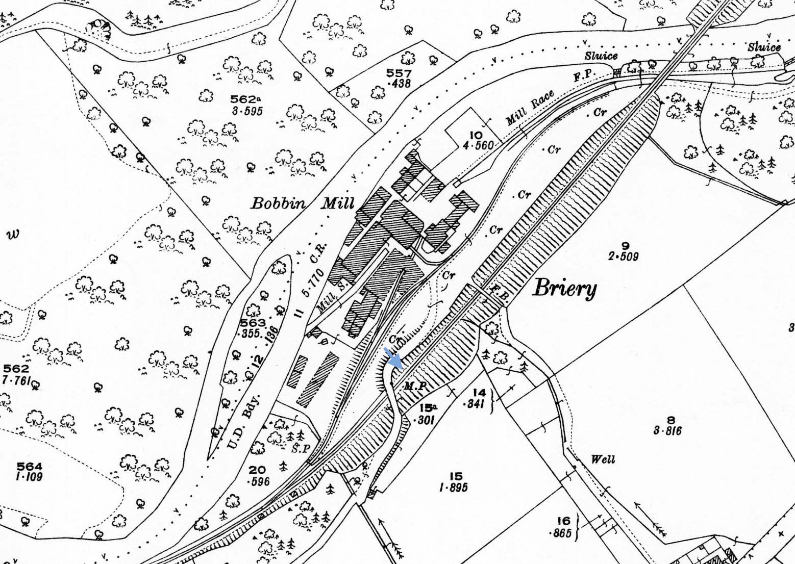
1924 1: 2,500 OS map. Briery Siding Halt was not shown on Ordnance Survey maps. The platform was immediately north-east of the bridge carrying the road to the Bobbin Mill (named) on the up (north-west) side of the track. The layout of the mill sidings, installed in the 1890s, is clearly represented. The River Greta forms the north-western boundary of the mill. The Mill Race diverting water from the river upstream to provide power to the mill and the Mill Stream which returns water to the river are both identified on the map
| Last
updated: |
© 1998-2019 Disused Stations
| |


 Home Page