
Station Name: BLACKFRIARS (SER Station)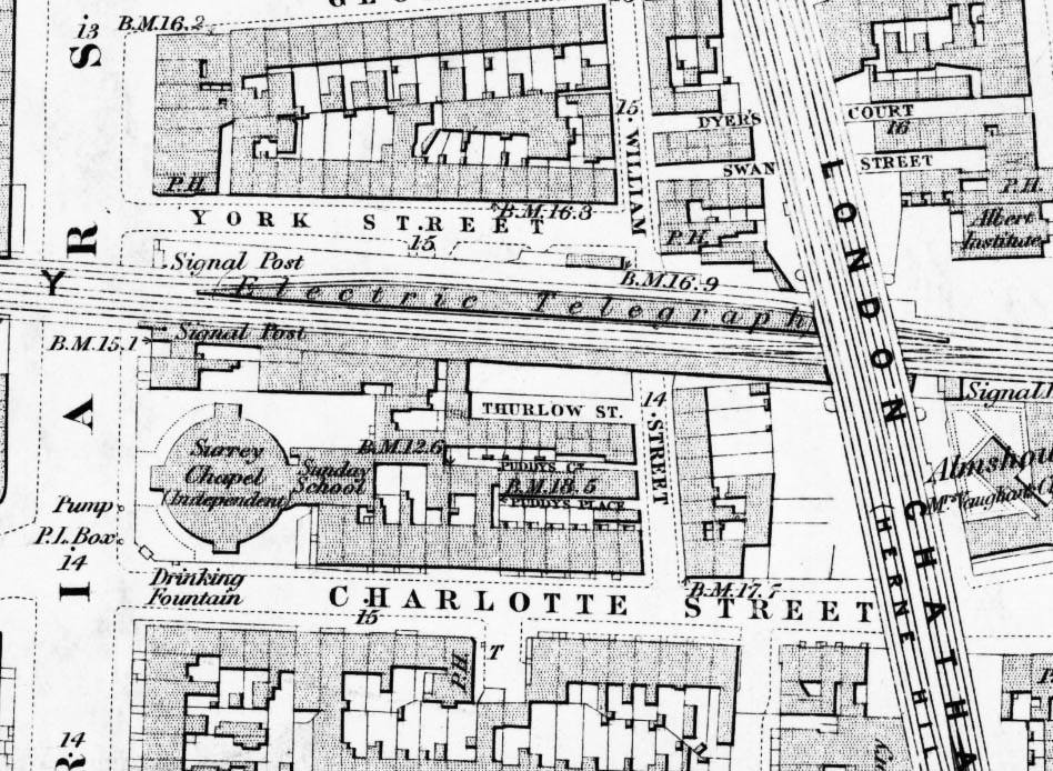
1879 1:2,500 OS map. Although this map was published 10 years after the station closed the platforms are intact. A side platform was originally planned for the north side of the formation but as no platform is shown here there is some doubt as to whether the platform was ever built. There is a clear widening of the viaduct to accommodate the platform. Blackfriars signal box is seen on the right
|

 Home Page